
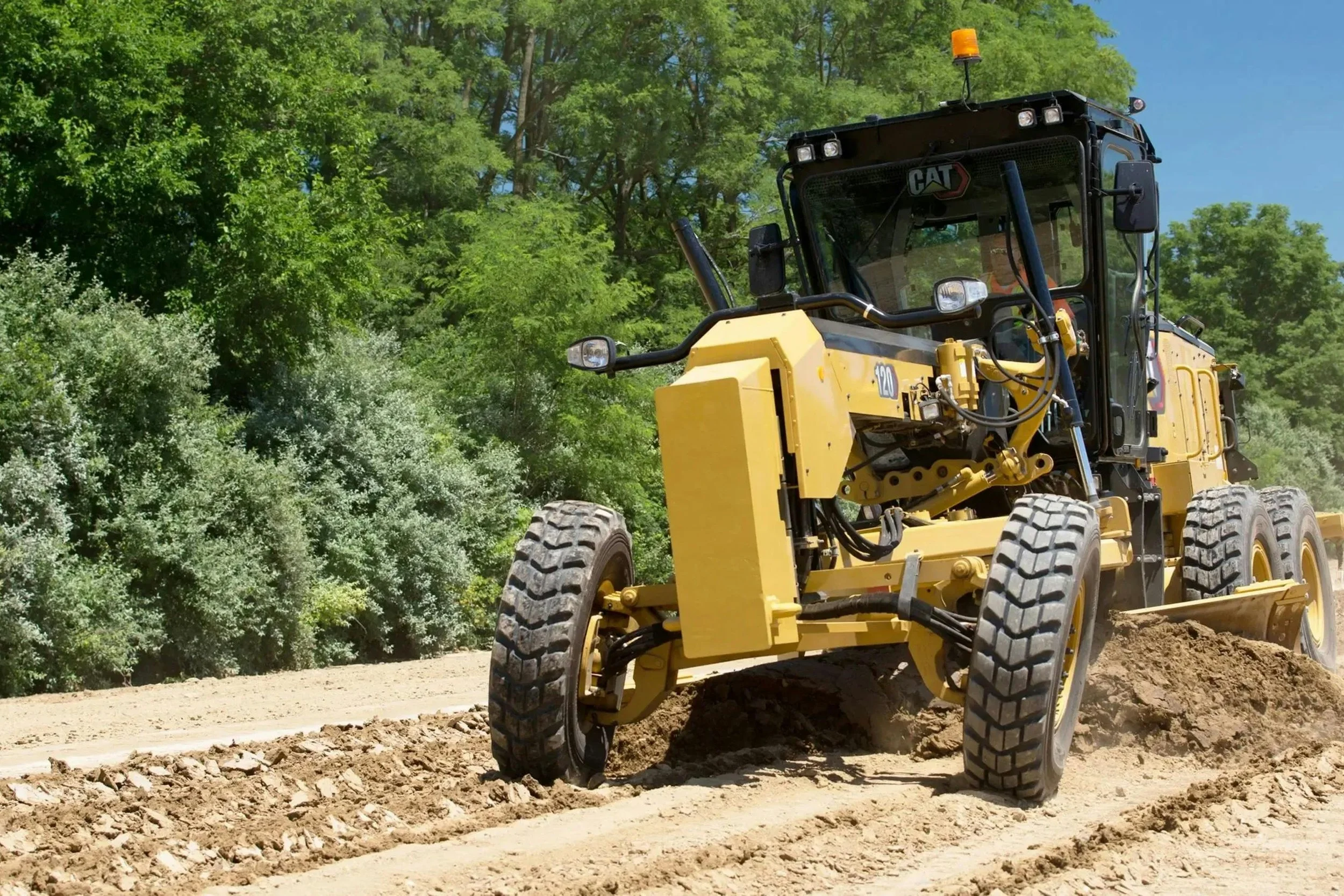
GPS Machine Control Models
Professional machine control files for Trimble, Topcon, and Leica
What's Included
Compatible files based on your device, including the CAD file, are provided.
All items (Curbs, Pad lines, etc.) are separated by layer and color
Tops, toes, retaining wall bottoms and tops, and any other grade breaks are ALL entered to provide an accurate surface TIN
All data is entered to Finish Surface
Annotate (non-elevated) lines such as Footing Grid lines and Underground Retention Systems that need to be located in the field, as requested
3D view of the model
Cross sections of the project, if requested
A very detailed review of the plan and CAD file to make sure that all elevations will work in actual field conditions. Also, that both the CAD and PDF design match.
Models are built from digital and PDF files you provide. No design work is provided
Projects are placed in a secure Dropbox location for you to share, as needed
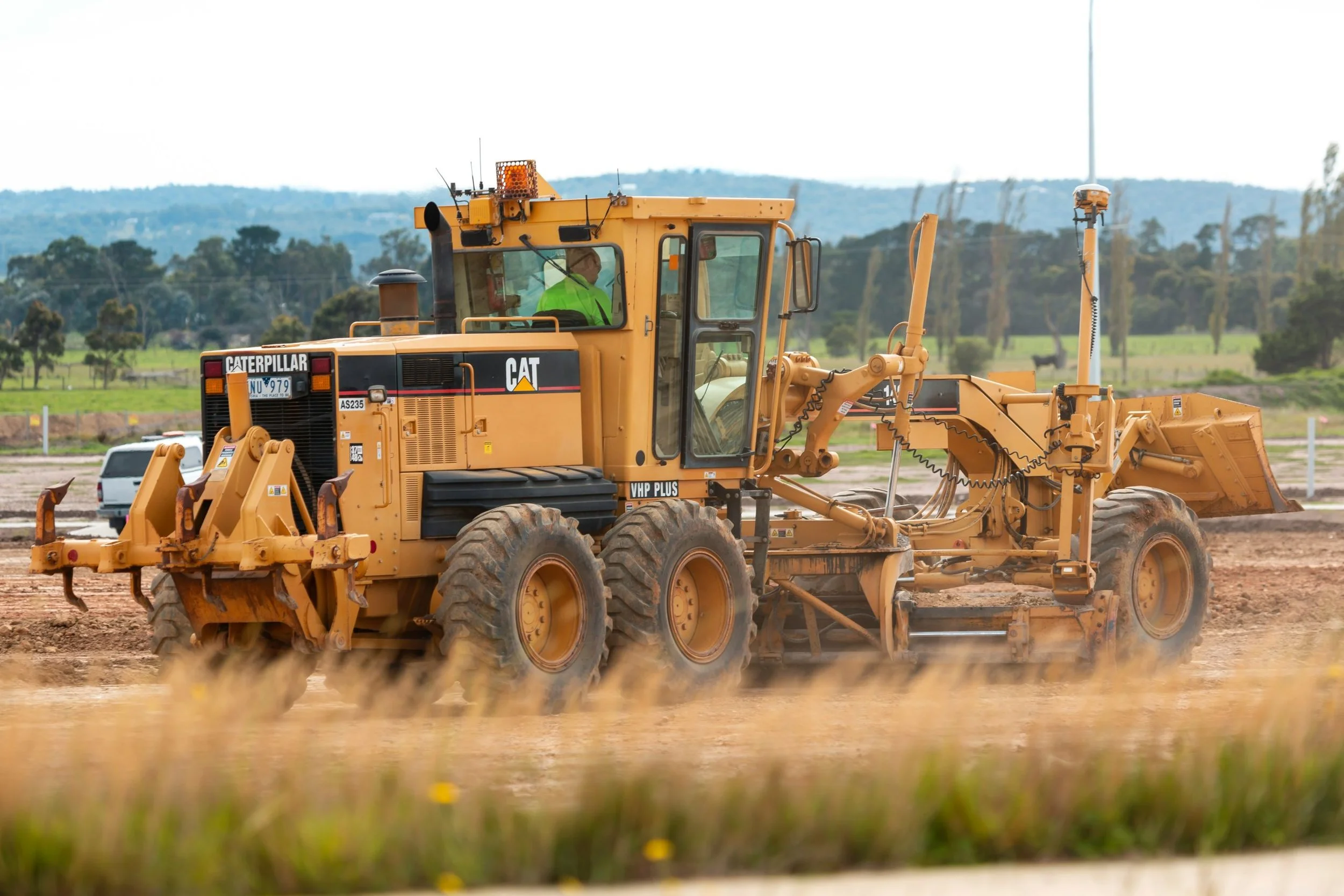
Why Anderson Estimating Service?
Our professional GPS models are accurate, detailed, and ready for the field.
Layers are clearly organized, named, and color-coded so operators can quickly understand the model on screen.
AES builds each model carefully so the surface matches the design and your crew is not left grading the same area twice.
With real field experience and over 40 years of construction estimating experience, AES understands what your operators need before the model goes to work.